Uruguay designates its second Ramsar site along the Uruguay river

by Iván Darío Valencia, Ramsar
Twenty years after acceding to the Convention and designating the Bañados del Este and Franja Costera as its first Ramsar Site, Uruguay has renewed its commitment to the Convention and made a big step by adding a second site to the List of Wetlands of International Importance: the Esteros de Farrapos e Islas del Río Uruguay. The site is due to be incorporated soon in the National Protected Area System. Currently, the Ministry of Housing, Land Development and Environment is elaborating a management plan for the site. The Information Sheet was compiled by the Ministry of Livestock, Agriculture and Fisheries.
Esteros de Farrapos e Islas del Río Uruguay. 10/12/2004; Río Negro; 17,496 ha; 32º53'S, 058º05'W. Located in the lower stretch of the Uruguay River, downstream from the Salto Grande Dam on the border with Argentina, the site consists of alluvial areas on the river's eastern bank as well as 24 islands, flooded during surges and exposed at low water levels. The system is important for the control of floods and erosion of the river banks. Elevated sand bars along the islands and alluvial plain are populated with forests and allow permanent and intermittent freshwater pools to be present in this dynamic environment. The most abundant vegetation in the flooded areas consists of Scirpus sp. reeds, Water Lettuce Pistia stratiotes, Eared Watermoss Salvinia rotundifolia, Fern Azolla Azolla filiculoides, Willows Salix sp., Zizianopsis bonariensis, Panicum spp., Southern Cat-tail Typha dominguensis, Eryngium pandanifolium and water hyacinths Eichhornia spp. There are records of the near threatened Maned Wolf Chrysocyon brachyurus, as well as of several endangered birds: the Saffron-cowled Blackbird, Xanthopsar flavus, and the Seedeaters Sporophila cinnamomea, S. palustris and S. zelichi, the latter critically endangered. The larger part of the area is owned by the State, and its most abundant use is extensive cattle grazing in the summer, although there is coal, horticulture and citrus production as well. The principal problem affecting the site is soil erosion due to bad agricultural practices in adjacent areas. Ramsar site no. 1433.
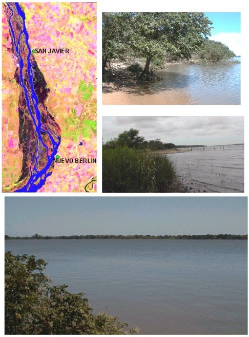
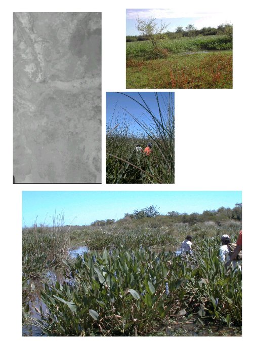
Figura 1: Sistema fluvial (Río Uruguay). Fuente: Facultad de Ciencias.
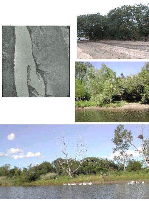
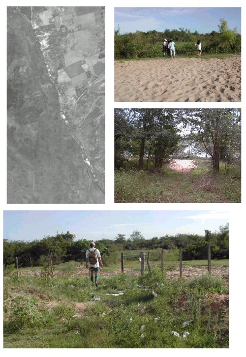
Figura 2: Albardón Litoral (Sistema de Drenaje del Humedal hacia el Río Uruguay, y desde éste hacia el Humedal). Fuente: Facultad de Ciencias.
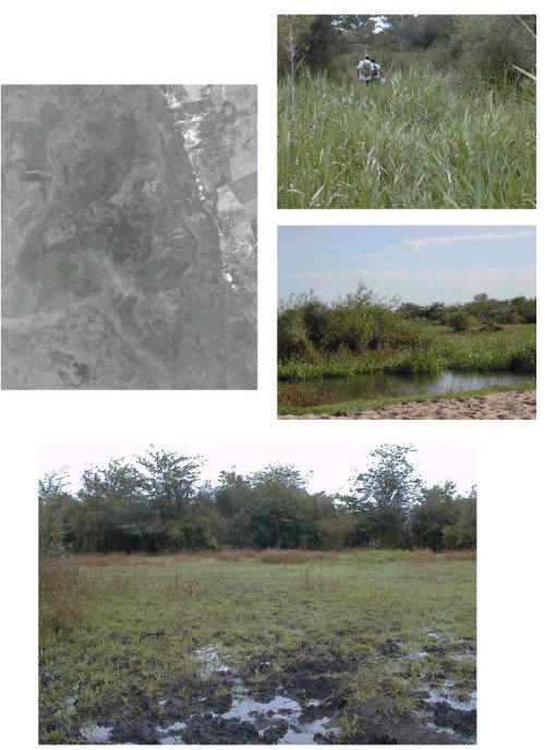
Figura 3: Ecosistema Hidromórfico con inundación permanente o semipermanente. Fuente: Facultad de Ciencias.
Figura 4: Ecosistemas hidromórficos con fuertes fluctuaciones hídricas. Fuente: Facultad de Ciencias.
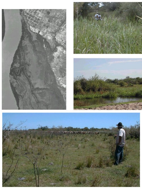
Figura 5: Ecosistemas complejos con paleocanales. Fuente: Facultad de Ciencias.
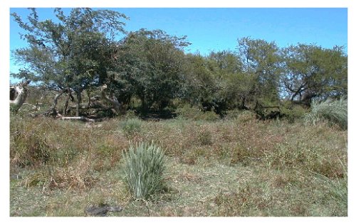
Figura 6: Sistema Insular antiguo con Vegetación de Parque. Fuente: Facultad de Ciencias.